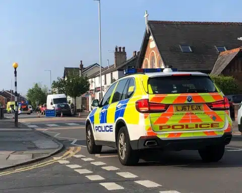
“Where were the police?”
One Officer from Team 2 in the Southport Local Policing Team mapped their patrol route on Friday night’s late shift, to answer this question and show the sort of area local officers cover from Southport police station.
The first map is of 7.92 miles of solo foot patrol around Cambridge Ward of Southport, taking in visits to off licences, betting shops and post offices to show a visible presence around these businesses. It also took in patrol of what has been historically a burglary hotspot area. The officer also attended a damage only road traffic collision on Marshside Road and responded to a report of ASB in Marshside where youths were reported as firing fireworks towards houses. The area was searched but the youths had made off prior to the officers arrival.
Click to enlarge map.
The second map is after the officer was partnered up and on mobile patrol in one of our marked police cars. This saw both officers returning to the Marshside area, following the earlier incident and patrolling other hotspot areas across the wider Southport area. 25.48 miles covered during this patrol.
We will try to post more retrospective patrol maps from other officers over coming weeks in case you didn’t see us.


OTS News on Social Media